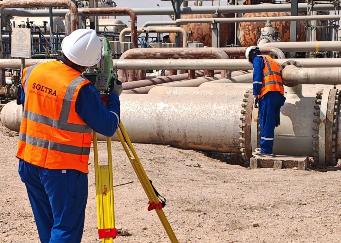
Digital Site Capture
High-resolution reality capture of the asset as built, from the ground and from the air.
- 360° photographic survey
- 3D laser scanning
- Drone-based aerial survey
Digital site capture, land survey and marine survey for energy and infrastructure projects in Iraq.
Everything your team needs to define the site: what stands on it, what runs beneath it and what lies below the waterline.
High-resolution reality capture of the asset as built, from the ground and from the air.
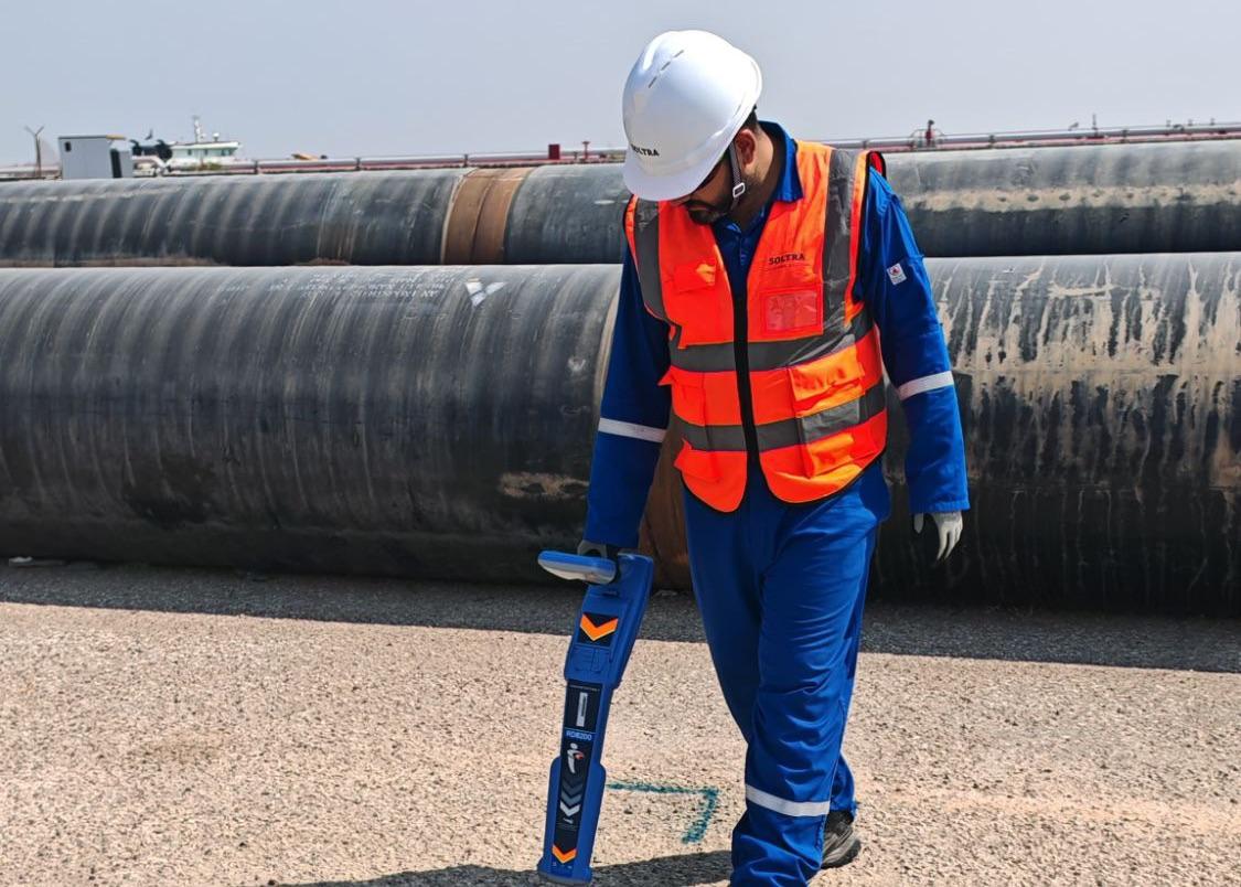
Precise measurement of terrain, utilities and site reference points for design and construction.
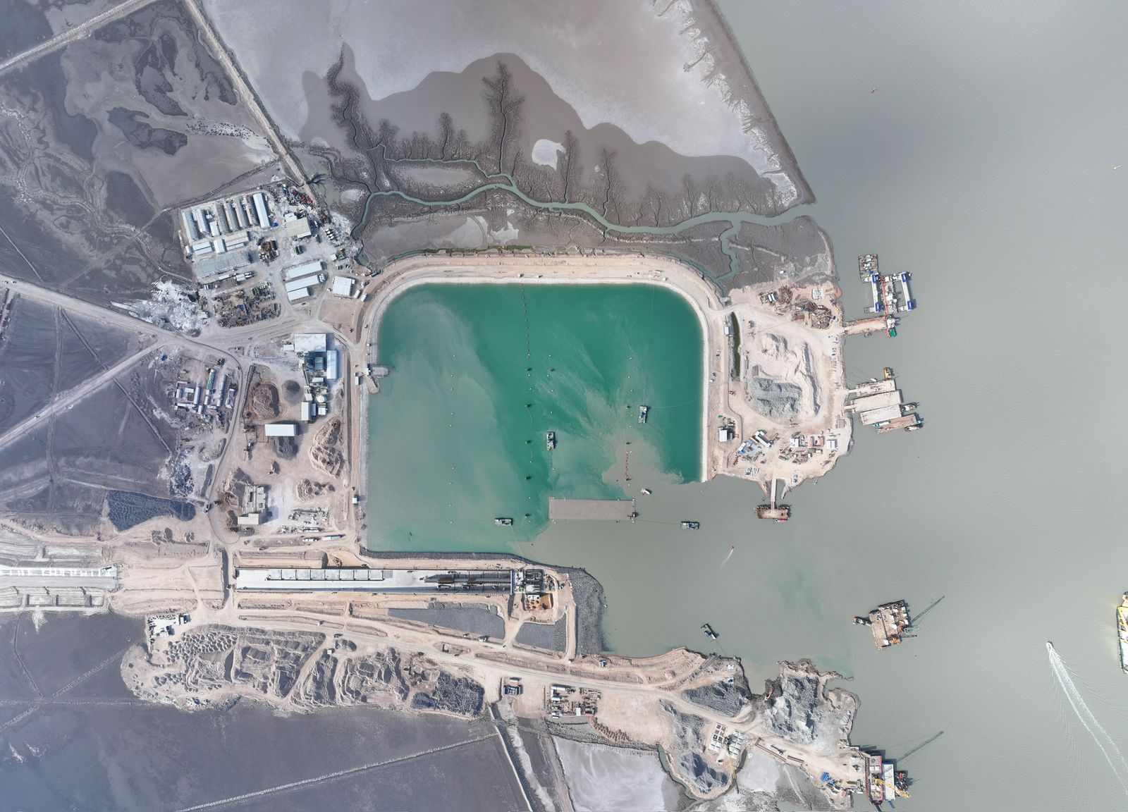
Measurement of depth, bed material and buried objects below the waterline.
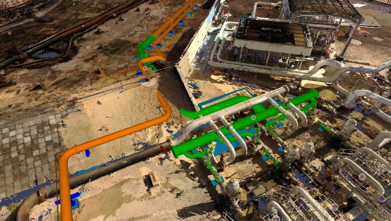
PlantView puts your site into a navigable 3D model: 360° photographic survey data, 3D laser scan data with Navisworks overlay, and P&IDs linked directly into it. It is where a digital twin starts: an accurate record of what is physically there, rather than what the drawings say. Your engineering, construction and operations teams work from that one record instead of passing files between them.
It streamlines P&ID as-building of legacy assets, lets model reviews happen remotely rather than on site, and keeps clashes visible where several projects run on the same asset.
Talk to our survey team →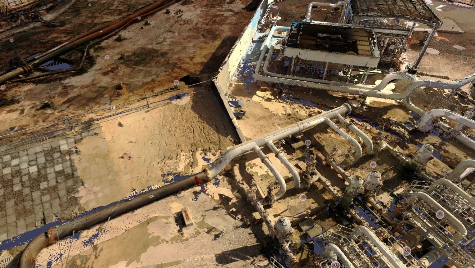

Where you are working and what problem you need solved.